ubx_nav_pvt Struct Reference
Represent decoded NAV-PVT message. More...
#include <GPSTypes.h>
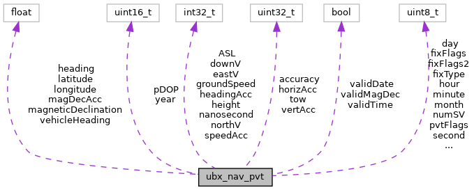
Collaboration diagram for ubx_nav_pvt:
Public Attributes | |
| uint32_t | tow |
| GPS Time of Week. | |
| uint16_t | year |
| Calendar year. | |
| uint8_t | month |
| Calendar month. | |
| uint8_t | day |
| Calendar day. | |
| uint8_t | hour |
| Hour (UTC) | |
| uint8_t | minute |
| Minute (UTC) | |
| uint8_t | second |
| Second (UTC) | |
| bool | validDate |
| Date data valid. | |
| bool | validTime |
| Time data valid. | |
| bool | validMagDec |
| Magnetic declination data valid. | |
| uint32_t | accuracy |
| Estimated time accuracy (ns) | |
| int32_t | nanosecond |
| +/- nanosecond (UTC) | |
| uint8_t | fixType |
| Navigation Fix type. | |
| uint8_t | fixFlags |
| Navigation status flags. | |
| uint8_t | fixFlags2 |
| Expanded navigation status flags. | |
| uint8_t | numSV |
| Number of satellites used for current solution. | |
| float | longitude |
| WGS84 Longitude. | |
| float | latitude |
| WGS84 Latitude. | |
| int32_t | height |
| WGS84 Height. | |
| int32_t | ASL |
| Height above mean sea level (?datum) | |
| uint32_t | horizAcc |
| Horizontal accuracy estimate (mm) | |
| uint32_t | vertAcc |
| Vertical accuracy estimate. | |
| int32_t | northV |
| Velocity (North, mm/s) | |
| int32_t | eastV |
| Velocity (East, mm/s) | |
| int32_t | downV |
| Velocity (Down, mm/s) | |
| int32_t | groundSpeed |
| Ground Speed (mm/s) | |
| float | heading |
| Motion heading. | |
| int32_t | speedAcc |
| Speed/velocity accuracy estimate. | |
| int32_t | headingAcc |
| Heading accuracy estimate. | |
| uint16_t | pDOP |
| Position dilution. | |
| uint8_t | pvtFlags |
| More flags. | |
| float | vehicleHeading |
| Vehicle orientation. | |
| float | magneticDeclination |
| Local magnetic field declination. | |
| float | magDecAcc |
| Estimated accuracty of magnetic field declination. | |
Detailed Description
Represent decoded NAV-PVT message.
Definition at line 101 of file GPSTypes.h.
The documentation for this struct was generated from the following file:
- /home/runner/work/Logger/Logger/library/GPS/GPSTypes.h